
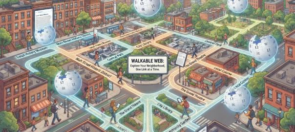
Mapping the Neighborhood: Reimagining Wikipedia as a Proximity-Based Experience
Sat Oct. 24, 2026 /Mpelembe Media/ — Local Wikipedia is an independent, unofficial web application developed by journalist, software developer, and data specialist Ed Jefferson that turns Wikipedia into a proximity-focused, ambient spatial encyclopedia. Conceived during lockdown and released in late 2026, the application operates on the core thesis of displaying geotagged Wikipedia articles located within a thirty-minute walk from the user. Users can set their location using native browser geolocation or manual text queries such as town names, landmarks, and UK postal codes. To balance visual clutter and system performance across varying geographic densities, the platform automatically adjusts its operational scope, expanding up to six miles in low-density rural areas or capping results at five hundred items in dense urban centers. Designed with client-side privacy in mind, positioning coordinates remain strictly within temporary local browser memory, and exported links are sanitized to ensure physical location data is never shared. Continue reading